


Design, grade, and calculate — all in one workflow!
With RhinoLands, topography design becomes faster, smarter, and fully integrated. Whether you're modeling complex terrain, planning cut-and-fill operations, or creating smooth grading transitions, RhinoLands gives you complete control of the landform.
Explore how topography can empower—rather than limit—your design.
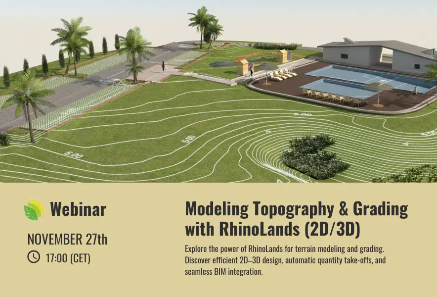
Webinar: Smart Topography & Grading with RhinoLands
📅 November 27 | 🕔 17:00 CET | 💻 Free Registration
Join us for an exclusive RhinoLands webinar and discover how to transform your grading workflow with powerful topography tools. Learn how RhinoLands automates earthmoving calculations, and produces 2D plans and 3D models simultaneously — all within a seamless, BIM-ready environment.
📍 Don’t miss this free session
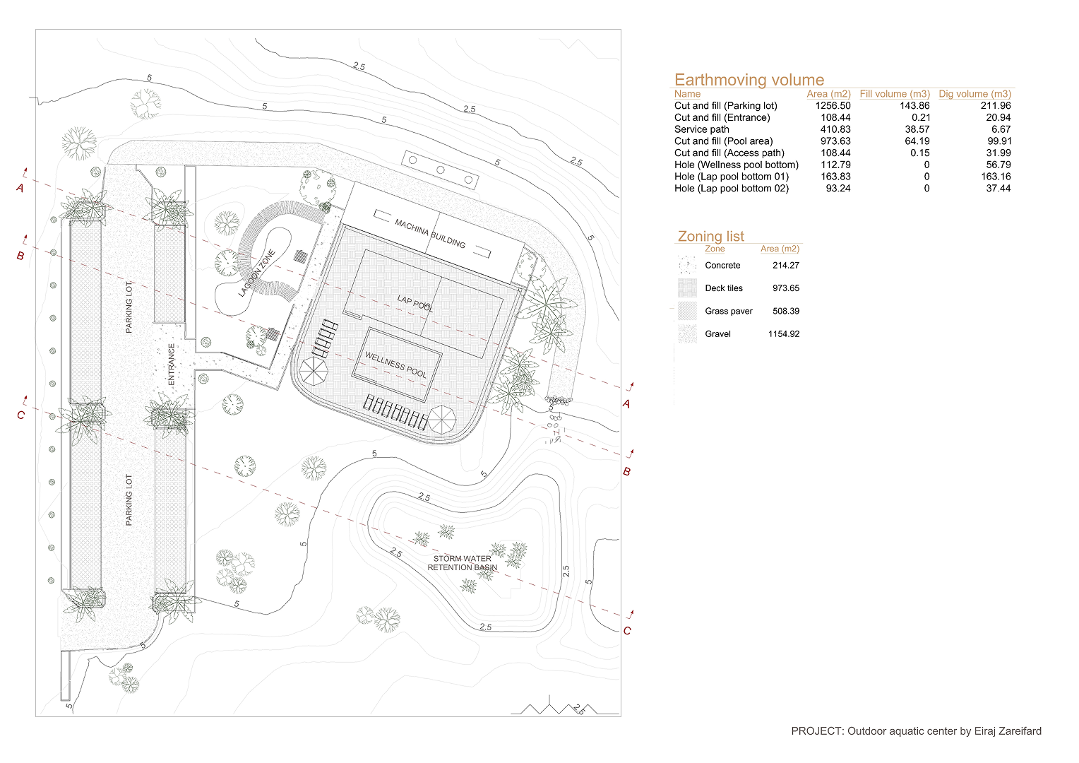
Terrain operation plan by RhinoLands user Eiraj Zareifard– showing real-world grading and contour integration.
Experience the next generation of digital terrain modeling.